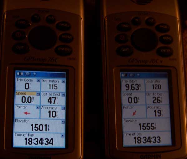
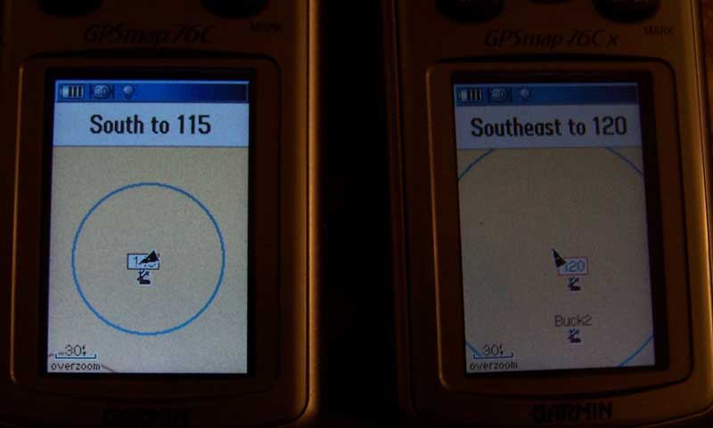
tucoblue: The new satellites have made your older unit better. You also got me playing around with my gps units. From my testing today I feel that the signal is strong but I am getting mixed results when it comes to accuracy. This time I created two waypoints, 115 on one gps unit and 120 on the other unit. The location(s) are within a foot of each other.

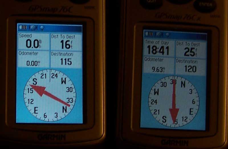
At this point the Pointer can be corrected by walk around in a circle for a minute to get it pointed the correct direction. The Pointer on the right is correct. The difference was cause by my movements when setting up the photograph.
The trip Odem on both units is correct. I had not cleared the one on the right after hiking.
Dist to Dest is incorrect on both units. This bugs me because normally this is reliable. Are Air Force guys playing with the satellites today? They could be, the software in the satellites have been modified. WAAS is activated on both units.
The Cx unit on the right is receiving more satellites. The Elevation unit on these units is produced by satellite signals, and not an altimeter.
As I explain earlier the user needs to follow the black pointer to his location.

Before jumping to conclusions on this one study the compass rose. There is only a few degrees difference and this was a result of my moving around and placing the units. The big difference is the Nine feet difference in Dist to Dest.

I believe tucoblue has hit upon what is happening with gps satellite signals.
**Accuracy in these photos was reduced because the gps units were operating under heavy cover.