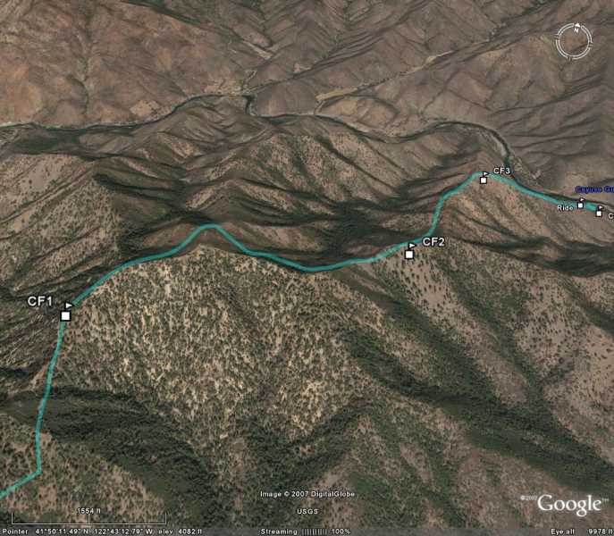
The marriage between Google Earth and the owner of a Garmin Gps or Magellan Gps with a pc cable is a natural. You can create routes using your gps, mapping software, or downloading a route that you have generated on you unit in track mode.
In playing around with the products my best results in connecting the gps unit directly to my pc and using the GPS option in Google Earth>Tools>and select your Garmin or Magellan Gps. You can then select what you want be it waypoints, tracks, or routes. I believe the most usable product come from the direct connection rather then a download file to MapSource, and the uploaded to Google Earth. The reason being is the image becomes cluttered with map points.
I see a lot of applications for these products. You can be tracking that big buck or planning a hunt in rough country. The second image highlights the value keeping you on track, because a wrong turn can put you miles from you ride in nasty country.
Here are a couple of examples using Garmin Products and Google Earth.

